Visitor Information
Whether you're currently planning your visit to the Peak District and Derbyshire or you're already in the area, you'll find everything you need to make your trip a memorable one here.
Find useful information on how to get here, including trains and bus timetables for the Peak District and Derbyshire, and discover our handy map that will help you get around the area and enjoy everything we have to offer.
Tourist information centres are located in many of the Peak District and Derbyshire’s most popular locations, giving you access to friendly advice from people who have the low down on the best things to see and do in each area.
Visitor information

Getting here
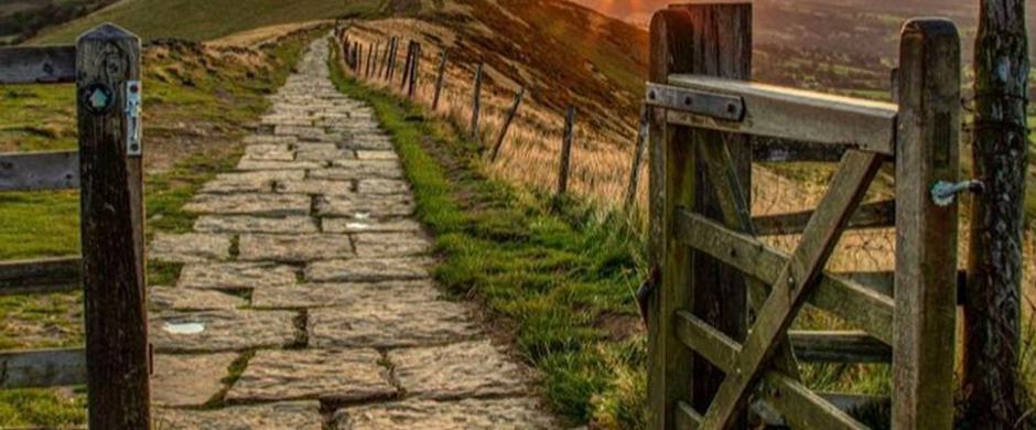
The Peak District and Derbyshire offers a world away that's not far away – right at the heart of England.

Tourist Information Centres
Tap into the local knowledge of the staff at our information centres across the Peak District and Derbyshire

Travelling by train
The Peak District and Derbyshire is easy to reach by rail from across the UK, and boasts plenty of scenic stations with great circular walks.

Travelling by bus
Whether you're visiting family-friendly attractions, historic sites or charming towns and villages, the bus is a hassle-free way to travel.
Sign up to our newsletter
Receive the latest news, special offers, ideas and inspiration straight to your inbox by signing up to the Visit Peak District & Derbyshire e-newsletter.